Herpie mine
Description
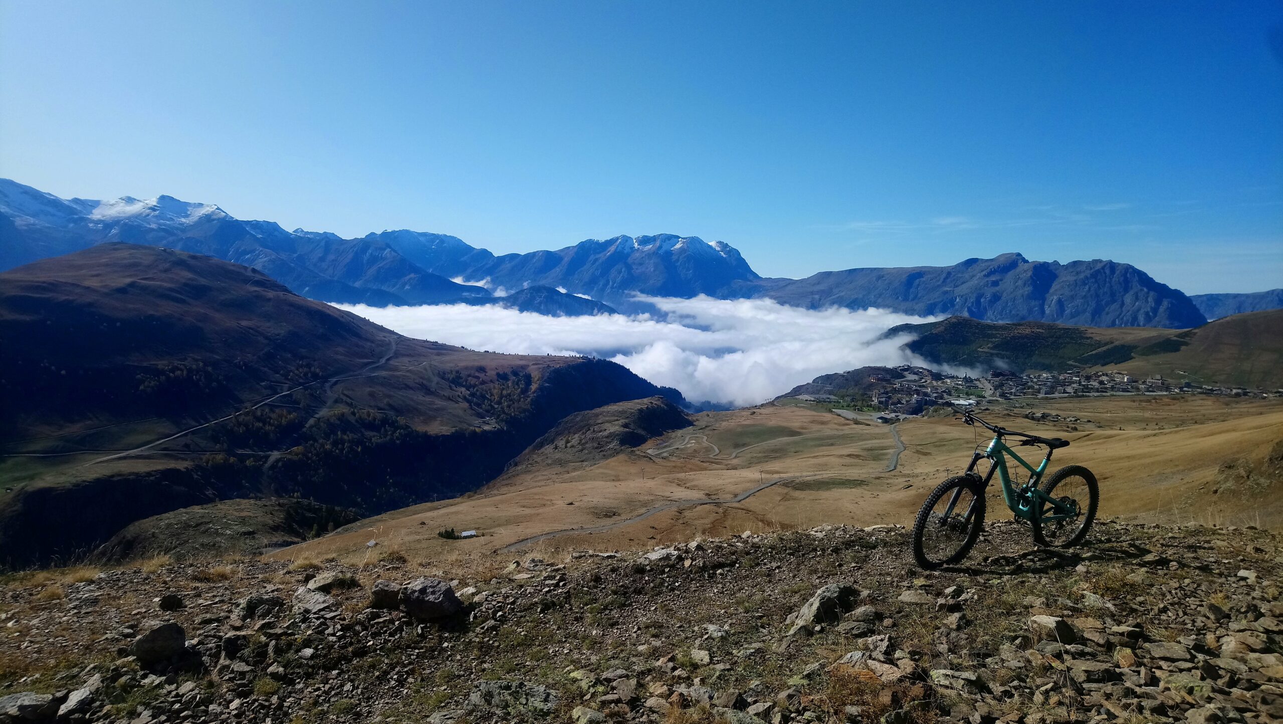
The path climbs gradually through the mountain pastures, along the mule track (driveable). Remains of mines line the route, including those of the Brandes and Herpie mines.
An easy, gradual hike, particularly pleasant at the start of the summer season, when the mountain pastures are in bloom. There are no difficulties on this wide, evenly-sloped trail, so you can enjoy the unobstructed view.
TECHNICAL INFORMATION
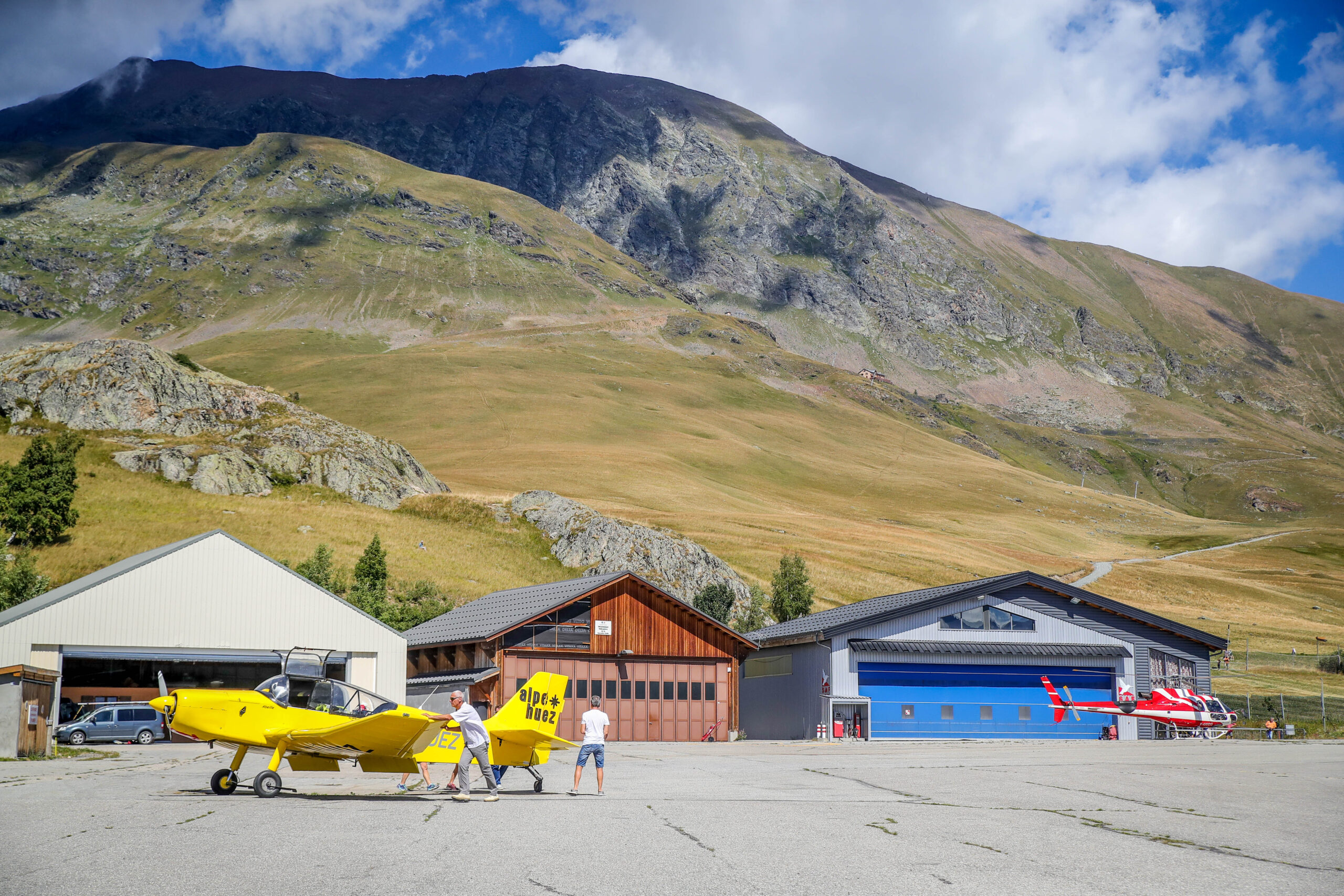
Departure: Alpe d'Huez altiport
Difference in altitude: 350 m
Round trip time: 2h45
Return distance: 5.2 km
Level: easy
ITINERARY
From the altiport, follow the road to the Col de Sarenne and take the 1st track up on the left. From here, simply follow the trail to the Herpie mine, and beyond if your calves are up to it.
For 1.5 km, the track climbs gently across the valley, then twists and turns before reaching the mine. All the way, you'll have a clear view of the surrounding area as you walk through the mountain pastures.
MAP AND TOPO
TOP 25 IGN 3335 ET - Bourg d'Oisans, Alpe d'Huez
Topo map OBP n°2 (Oisans au Bout des Pieds) trail 256.
NEARBY ATTRACTIONS
- Brandes archaeological site
- Sarenne pass
TO KNOW
The Herpie mine opened in 1880 to mine coal in the combe charbonnière. It was the highest mine in Europe, and in 1904 a cable car, known at the time as an "aerial cable railway", was built to bring the coal down to Bourg-d'Oisans. This equipment enabled the mine to operate intensively, with 30 to 50 workers on site, especially in winter. A few rusty remnants of this gondola lift are still visible in places.
It closed suddenly in 1951, a few months after an avalanche swept through part of the buildings, killing 12 people.
Contacts
38750 Alpe d'Huez
e-mail : info@alpedhuez.com
Website : https://www.alpedhuez.com